- Make the city tourist friendly through improved urban mobility and mobile application based information system.
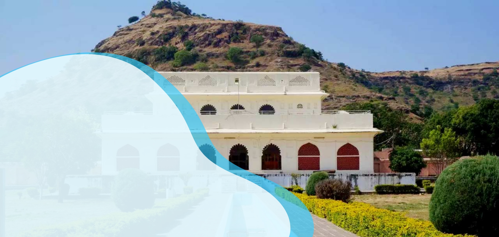
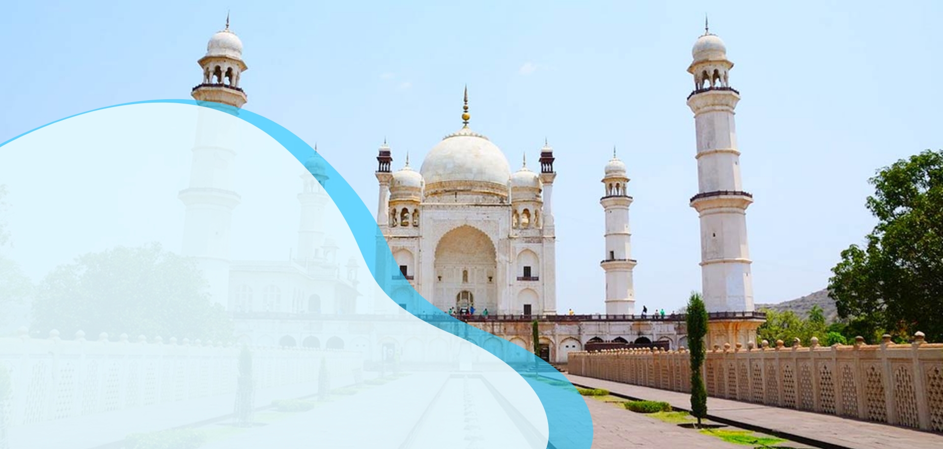
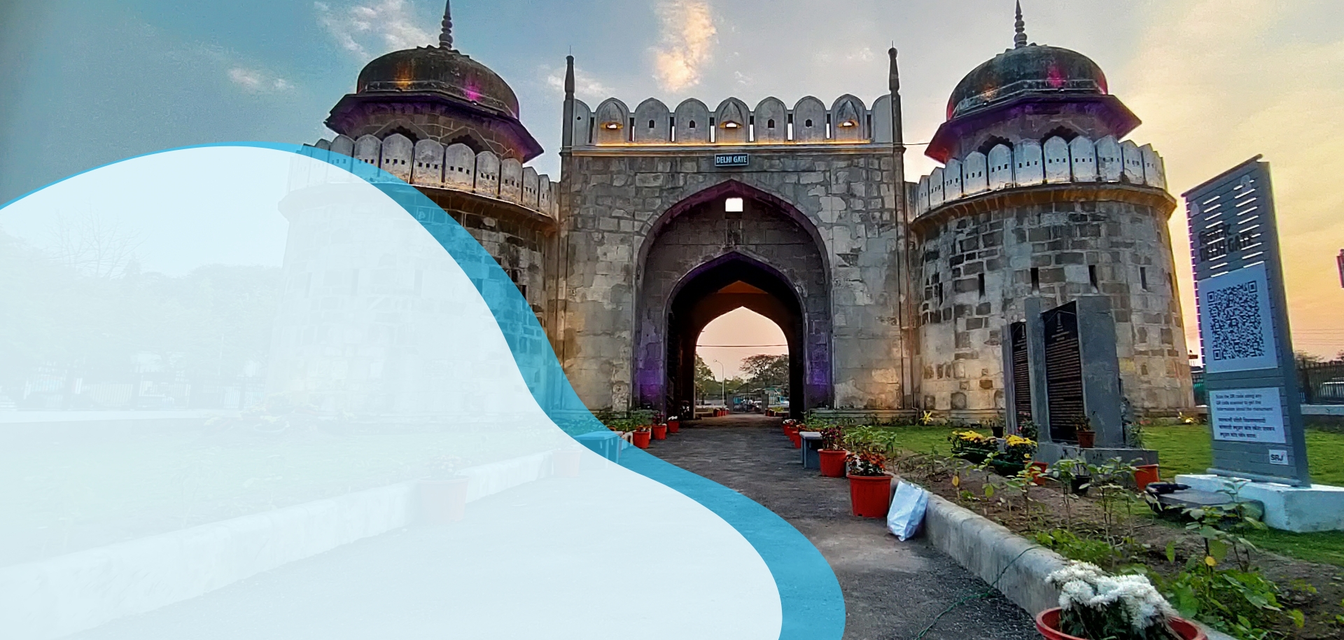
- Promote the natural heritage & rich culture of the city at national and international level by focusing on protection and care of tangible cultural heritage including archeology and artworks
- Develop tourism attractions for modern era youths.
- Creative advertising through social media campaigns of special events and occasions like Ellora festival, Maha Expo, etc.
- Map existing infrastructure and upgrade the system using IOT and ICT based technology.
Welcome to the
Chhatrapati Sambhajinagar GIS Portal
This is a portal designed and developed under the Chhatrapati Sambhajinagar Smart City project for citizens, government departments and tourists. It provides a wide range of information pertaining to the city, using geo-spatial technology. The portal can be used to search information related to building footprints, roads, wards, public utilities and other layers based on geo-specific attributes.
This GIS project provides a robust and reliable decision support system to government officials. The project included mapping the entire city of Chh. Sambhajinagar (170 sq. kms) using satellite data, drone data and physical survey. As a part of the project various cadastral maps have also been digitised and more than 100 layers and sub-layers have been mapped and digitised.
Explore City GIS Map
Soneri Mahal
The Golden Palace is situated in the area called Paharsinghpura on the outskirts of the main Aurangabad city, at a distance of about half a kilometre from the famous Bibi Ka Maqbara and inside the campus of Dr. Babasaheb Ambedkar Marathwada University at the foothills of the scenic Satara mountain ranges. This rectangular edifice, made of stone and lime, is a picturesque palace with mountains serving as a backdrop. Wild luxuriant pastures, farms and trees surround and add to its artistic splendour. The palace gets its name from the paintings made in pure gold water which adorn its interiors.This monument was built by a Bundelkhand chief who accompanied Aurangzeb into the Deccan.
Bibi Ka Maqbara
The beautiful mausoleum of Rabia-ul-Daurani alias Dilras Banu Begum, the wife of the Mughal Emperor Aurangazeb (1658-1707CE) is locally called as Bibi-ka-Maqbara. This mausoleum is believed to have been constructed by Prince Azam Shah in memory of his mother during 1651 to 1661 CE.An inscription found on the main entrance door mentions that this mausoleum was designed and created by Ata-ullah - an architect and Hanspat Rai - an engineer. The mausoleum draws its inspiration from the world famous Taj Mahal of Agra (constructed between 1631 and 1648 CE) and hence it is rightfully known as the “Taj of Deccan”.
Delhi Gate
Delhi gate is the largest gate built by Aurangzeb. It is not only large in size but also appears attractive among all the gates built in the Deccan area so far. It is located towards the Delhi Town that is towards the north end of the Aurangabad cityThe gate is a two storeyed structure. The façade which provides the main entrance into the city of Aurangabad faces north. It has two octagonal bastions on either of the sides and a pointed arch in between for entry and exit which encompasses another smaller pointed arch with a wooden door. The interior of the arch contains two small rectangular opening on the either sides which posed as guardrooms. Above the parapet wall of the arch is a battlement with numerous entablatures. On the two sides of the main arch are two turrets that rise up till the top of the battlement..
1. Public utility
2. Administrative Boundary
3. Financial services/Commercial
4. Transportation
5. Health
6. Education
7. Service Utility